3D Drone Modeling and 2D Drone Mapping
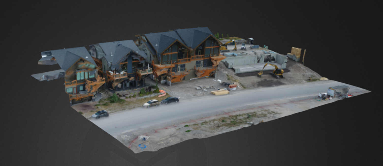
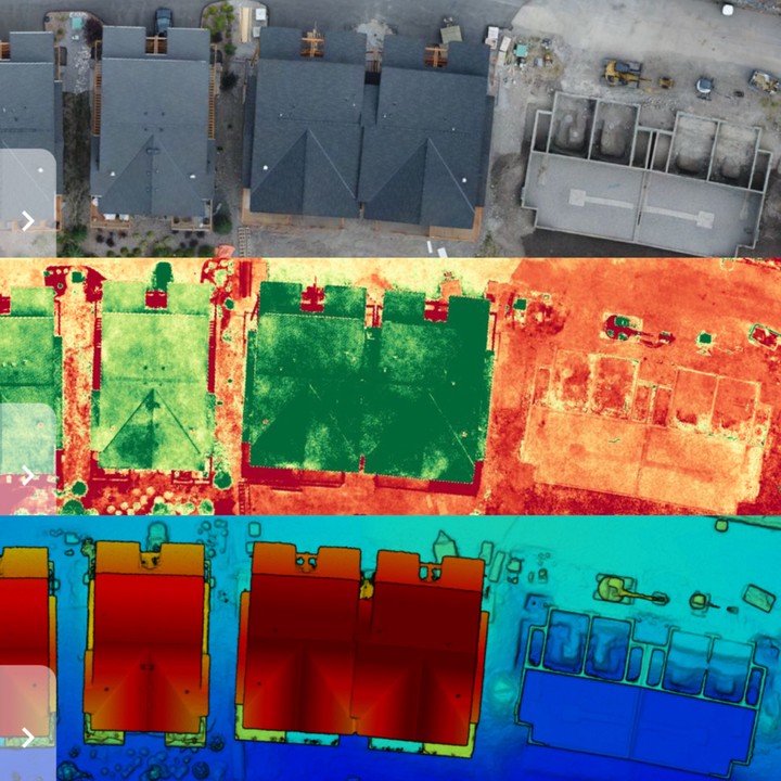 Photo of 3D house model
Created 3D models and collaborative maps using a drone and software platform
Utilized drone imagery to create vegetation and elevation maps of buildings all of which can be used in the agriculture, construction, surveying and inspection industries

Claudia Nikel
Clinical Data Analyst
My educational interests include Machine Learning, Data Visualizations, coding and anything Data Science related.